The plan to build the Mackinac Bridge to Mackinac Island
As interest grew in a motorized link over the Straits of Mackinac between Michigan’s two peninsulas, the state Legislature solicited ideas, according to the Mackinac Bridge Authority. A New York City engineer, C. E. Fowler, proposed a series of bridges and causeways that would take traffic on an island-hopping route from Cheboygan in the Lower Peninsula through Bois Blanc, Round and Mackinac Islands and then on to St. Ignace in the Upper Peninsula. In fact, survey markers for the planned road alignment still exist on Bois Blanc Island. This news report shows a map of the proposed route and talks about how the Cheboygan-to-St. Ignace connector would have changed the nature of the islands and the entire Straits of Mackinac.
Beloved features of car-free Mackinac Island
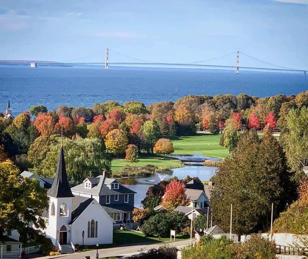
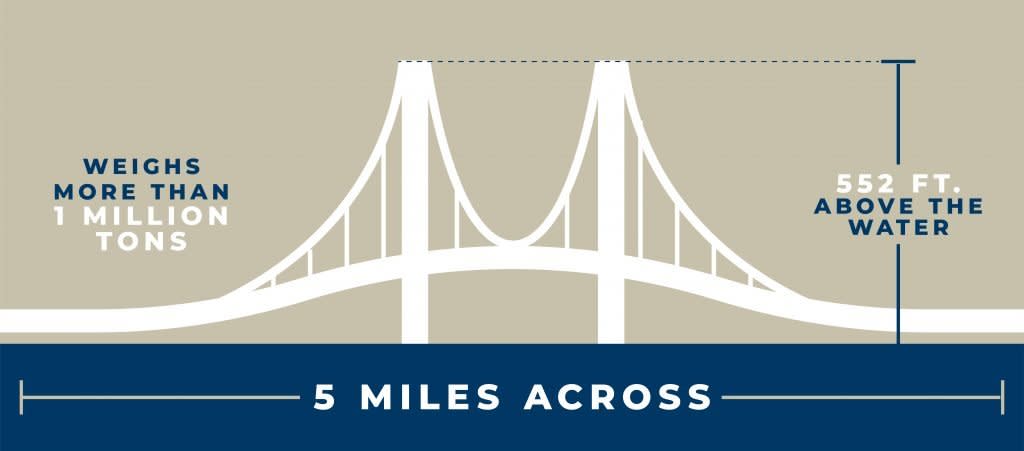
More than 4 million vehicles cross the Mackinac Bridge each year. In July and August, the busiest months of the year for the “Mighty Mac,” bridge traffic averages 20,000 vehicles per day. That kind of traffic would completely change the character of car-free Mackinac Island, where motor vehicles have been banned since 1898! Could you imagine the freeway running through Mackinac Island? It’s hard to envision exactly what Mackinac Island might look like today had Michigan acted on Fowler’s plan a century ago. But it’s a good bet that many of these distinctive features would have been lost to history:-
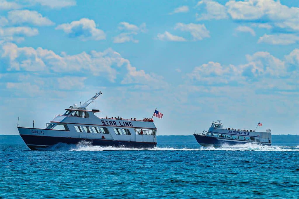
Mackinac Island ferry boats

-
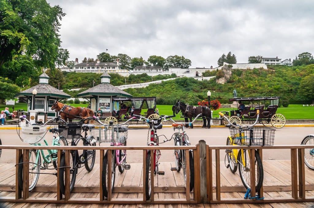
Horse-drawn carriage tours of Mackinac Island
-
Bicycles on Mackinac Island

-
Historic character of Mackinac Island